
Featured Projects
Governmental Organizations and Private Agencies
Wetland Delineations in the Inland Northwest
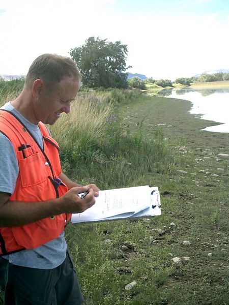
Identifying and delineating wetlands
The U.S. Army Corps of Engineers (Corps) is charged with protecting the nation’s aquatic environments, including wetlands, while allowing reasonable development through permitting. In wetland areas within the Corps’ jurisdiction, permits are required for such activities as dredging, building residential and commercial developments, and constructing piers, docks, marinas, boat ramps, and roads. To obtain a permit, the Corps requires preparation of a formal wetland delineation report.
EAS offers qualified wetland professionals who understand the legally mandated wetland delineation process. We describe and map the topography, hydrology, soils, and plant communities at a site, which are crucial in identifying and delineating wetlands.
U.S. Army Corps of Engineers, Walla Walla District
Snake River Wetland Assessment
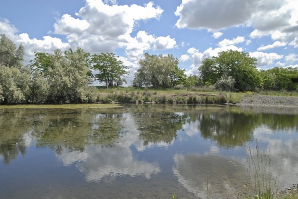
Defining wetland areas and habitats
Photo credit: NCRS
The Corps manages thousands of acres for wildlife habitat at management units on the Yakima, Columbia, and Snake rivers. EAS staff worked with the Corps to define specific wetland areas and habitats at 25 Snake River habitat management units from Lewiston, Idaho, to the confluence of the Snake and Columbia rivers, in Burbank, Washington, a distance of more than 100 river miles. We used vessels, GPS, and GIS to map boundaries and quantify specific habitat types according to Corps protocols.