Environmental monitoring, characterization, compliance and surveillance studies require a variety of field tools and technologies to obtain the best scientific information available to meet client needs. Traditionally, scientists collected environmental information through eye witness observations and communications and photography. Twenty-first century technologies such as geographic information systems (GIS) and space-based global positioning systems (GPS) greatly expanded researchers ability to view, understand, question, interpret, and visualize data in many ways. These tools made it possible to reveal relationships, patterns, and trends in information in the form of maps, reports, and charts.
EAS relies on these state-of-the-art tools and additional customized technology and equipment to conduct a wide range of field surveys and sampling campaigns tailored to meet individual project needs. Specific tools and applications include the following:
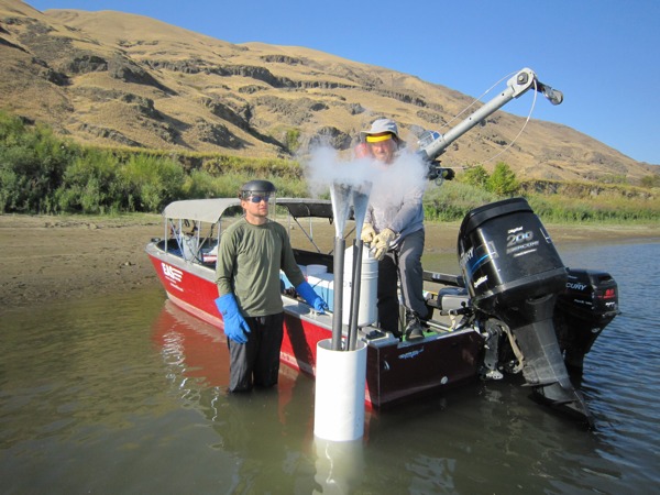
- Liquid-tip Trident probe. A customized tool for safely and successfully locating groundwater upwellings in offshore waters and sampling and characterizing pore water, surface water, sediment, and soil in complex, normally difficult-to-sample riverbed substrates. EAS was instrumental in tailoring the technology specifically to the offshore waters and coarse riverbed of the Columbia River, and integrating river-state-specified field deployment techniques.
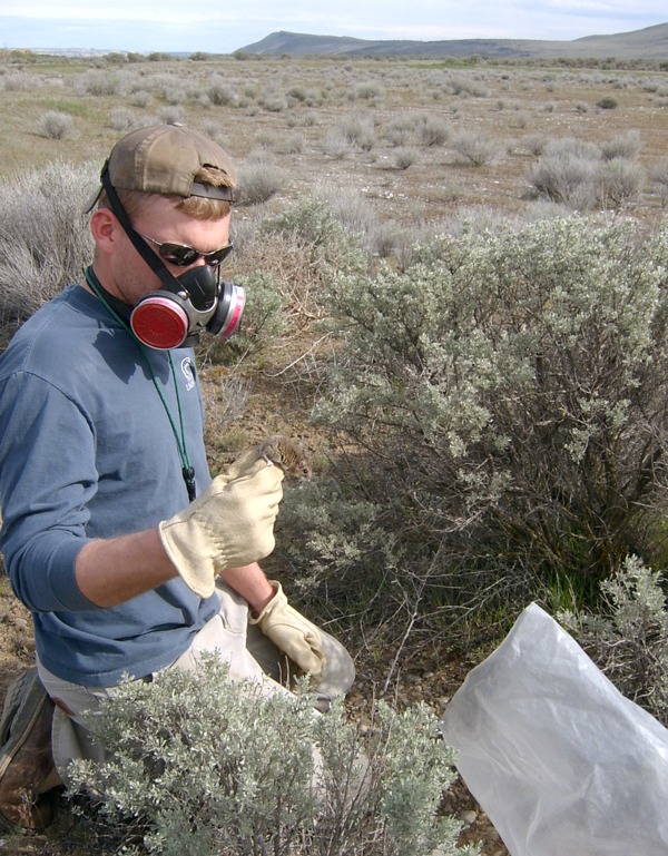
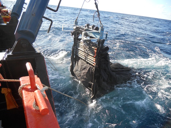
- Specialized tools and technologies to sample surface water, groundwater/pore water, sediment and soil, plankton, coral and deepwater communities, fish, shellfish, and other macro invertebrates, and other biota
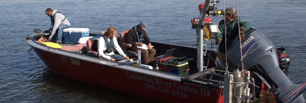
- Specialized vessels outfitted with davits, capstans, underwater cameras, radar, sonar, onboard computers, and specialized equipment for various boat operations and project needs.
- Geographic information systems (GIS) for reporting results in electronic formats with spatial illustration.
- Global positioning systems (GPS) – high-accuracy (sub-meter), real-time, correction-based spatial mapping tools.
- Remote monitoring video cameras and other monitoring tools, including bat echolocation detectors.
- Specialized sampling tools for collecting data on a variety of plants, fish, wildlife, and other biota.
EAS relies on state-of-the-art tools and additional customized technology and equipment to conduct a wide range of field surveys and sampling campaigns tailored to meet client needs.
(click to enlarge images and view captions)